
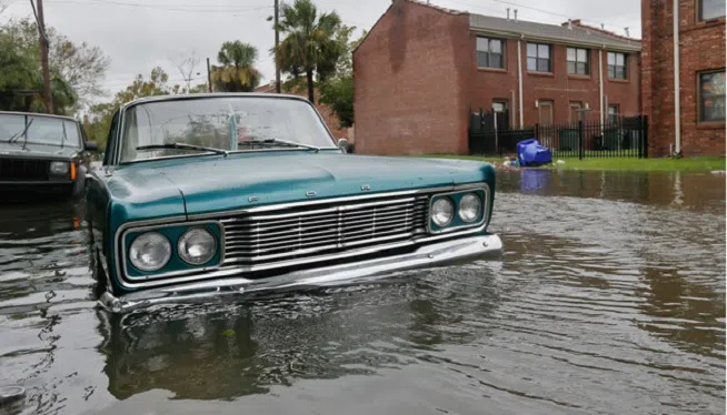
WASHINGTON — (WMAL) For the most part, the Potomac River is expected to behave itself following last week’s epic rainfall.
The National Weather Service reduced its Coastal Flood Warning to a Coastal Flood Advisory Sunday evening. The advisory extends through 6 am Tuesday.
Minor flooding can be expected for the unprotected part of the Southwest Waterfront at the D.C. Seafood Market, and water should approach areas of the Hains Point Loop Road and buildings near King Street and Union Street in Alexandria.
From the National Weather Service:
..COASTAL FLOOD ADVISORY REMAINS IN EFFECT UNTIL 6 AM EDT
TUESDAY…
* LOCATIONS…Shoreline in the District of Columbia.
* TIDAL DEPARTURE…1.5 to 2.5 feet above normal due to
freshwater.
* TIMING…Freshwater inundation will cause minor flooding near
times of high tide through tonight, and possibly into Tuesday.
The next high tide at Washington Channel 1:43 PM this
afternoon and again at 2:34 AM early Tuesday morning.
* IMPACTS…Shoreline inundation is expected along portions of
the seawall adjacent to Ohio Drive and the Hains Point Loop
Road and near the Tidal Basin, as well the Georgetown
waterfront.
PRECAUTIONARY/PREPAREDNESS ACTIONS…
A Coastal Flood Advisory indicates that onshore winds and tides
will combine to generate flooding of low areas along the shore.
Copyright 2018 by WMAL.com. All Rights Reserved. (PHOTO: CC0 Creative Commons via Pixabay)


")


